

Col du Galibier
The roof of the Tour de France
34km
Distance
1922m
Elevation
5.6%
Avg grade
12.1%
Max grade
2642m
Summit
Bourg d'Oisans
Start
The giant
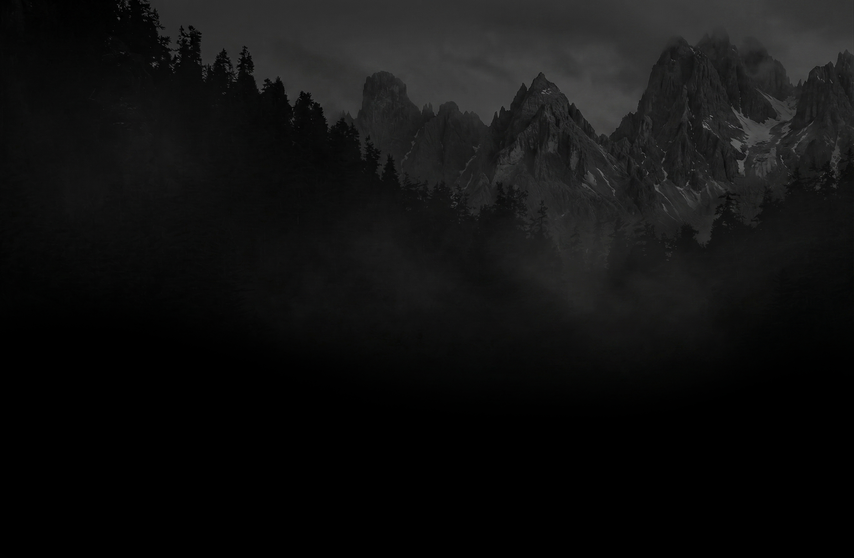
At 2,642m, the Col du Galibier is one of the highest road passes in the Alps and a monument of the Tour de France. The climb from the south via Col du Lautaret is a two-stage affair — a long, scenic approach through the Romanche valley followed by a brutal final ascent above the treeline.
This is a ride that demands respect. The total distance from Bourg d’Oisans to the summit is 34km with nearly 2,000m of elevation gain. Allow 3-4 hours for the ascent depending on your level.
The approach
The first 24km follow the Romanche valley towards Briançon. The gradient is gentle — 3-4% — but the distance is relentless. You’ll pass through La Grave with its views of the Meije glacier, one of the most dramatic mountain panoramas in the Alps.
The real climb
After Col du Lautaret (2,057m), the Galibier proper begins. 8.5km at 6.9% average, with sections hitting 12%. The landscape is raw — bare rock, snowfields, and nothing but sky above you. The final kilometres feel endless as the air thins and the wind picks up. When you reach the summit monument, you’ll understand why they call it the roof of the Tour.
Insider tip
The Galibier is often closed by snow until mid-June. Check road status at oisans.com before heading out. And bring arm warmers — even in August it can be near freezing at the summit.